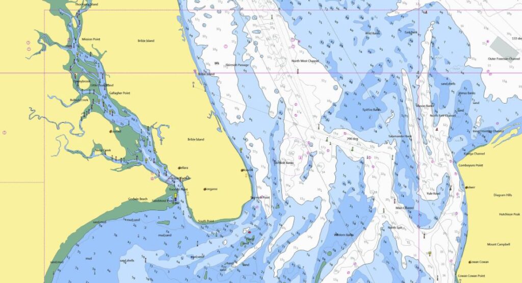
Navigating Australian waters, with their diverse coastline and varying marine conditions, demands accuracy and precision. Australian nautical charts are crucial tools that provide the essential information needed to ensure mariners can navigate safely and efficiently. These charts are designed to guide both recreational and commercial vessels across the country’s waterways, helping them avoid hazards and optimise their journey.
The Importance of Australian Nautical Charts for Safe Navigation
Australian nautical charts are vital for ensuring the safety of those on the water. They offer detailed information on water depths, submerged rocks, reefs, and other potential hazards that could pose a danger to vessels. These charts also mark the location of navigational aids such as buoys and lighthouses, which help guide ships safely along their route.
By consulting these charts, mariners can plot a course that avoids dangerous areas, ensuring a safer journey. This information is especially important for vessels operating in unfamiliar waters, where hazards may not be visible from the surface.
How Australian Nautical Charts Help Plan Efficient Routes
Beyond safety, these charts contribute to the efficiency of maritime navigation. These charts display key details about waterways, including depth measurements, tidal flows, and the layout of harbours and channels. This allows mariners to plan the most direct and safest route, reducing travel time and fuel consumption.
For instance, by understanding the location of shallow areas or areas with strong currents, mariners can avoid these spots or time their journey to take advantage of favourable conditions. This not only improves efficiency but also reduces the risk of getting stranded or encountering difficulties during the voyage.
Technology Enhances the Utility of Marine Charts
Electronic chart systems (ECS) and GPS tools integrate real-time data, offering a more dynamic approach to navigation. These digital charts allow mariners to access updated information about weather, water conditions, and tides, enhancing decision-making while out on the water.
Modern navigation tools, such as digital marine charts, are user-friendly and provide enhanced accuracy, making it easier to follow a course. These charts are particularly useful for those operating large vessels or travelling long distances, where precise navigation is critical.
The Global Significance of Australian Nautical Charts
While nautical charts are essential for domestic navigation, they also play an important role in international maritime activities. As part of a worldwide network of marine charts, these charts help ensure safe navigation for ships passing through Australian waters from other parts of the world. Accurate charts are key to supporting global shipping routes and maintaining the safety of international maritime trade.
Australian nautical charts are indispensable for ensuring both the safety and efficiency of navigation in Australia’s waters. With detailed information on hazards, tides, and depth measurements, these charts enable mariners to navigate with confidence. They are a key resource for both recreational boaters and commercial sailors, helping them avoid dangers and optimise their journeys.

