
The use of UAV drone surveys has increased exponentially in recent years as the technology has progressed. UAVs provide a number of advantages over traditional survey methods, including the ability to cover large areas quickly, access difficult-to-reach locations, and collect high-resolution data.
Despite the many advantages of UAVs, there are a number of challenges that need to be considered when using this technology, such as regulatory issues, data management, and privacy concerns.
Conducting a UAV drone survey can be a great way to gather data and information about a particular area. UAVs can cover a large area in a short amount of time, and they can collect a variety of data that can be used for mapping and surveying purposes.
What is a UAV Drone Survey?
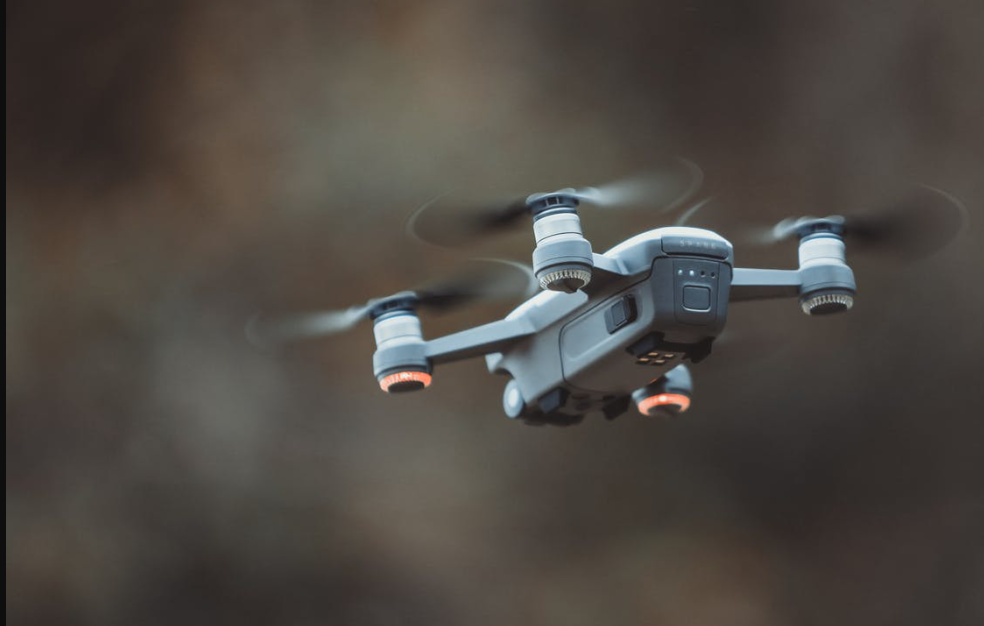
A UAV Drone Survey is an aerial survey that is conducted using an unmanned aerial vehicle (UAV), more commonly known as a drone. This type of survey provides a cost-effective and efficient way to gather data and collect images of a large area.
Drones are equipped with high-resolution cameras that can take pictures or videos of an area. This data can then be used to create maps, 3D models or simply gain a better understanding of the area that was surveyed.
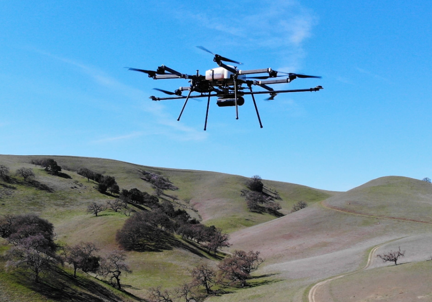
UAV aerial mapping can be used for a variety of purposes, such as surveying land for development, monitoring environmental conditions, or assessing the damage after a natural disaster.
Why are UAV Drone Surveys Important?
UAV drone surveys are becoming increasingly popular in a variety of industries, from construction and mining to environmental conservation and security. But what are they, and why are they so important?
UAV drone surveys are simply surveys that are conducted using drones or unmanned aerial vehicles. This type of survey has a number of advantages over traditional ground surveys. First, drones can cover a much larger area in a shorter amount of time. Second, drones can access places that are difficult or impossible for humans to reach, such as steep cliffs or remote forests. And finally, drones can collect data more accurately than humans, thanks to their high-tech sensors and cameras.
So why are UAV drone surveys so important? In short, they help us to better understand and manage our environment. By conducting regular drone surveys, we can monitor changes in the landscape over time,
Conclusion
To conduct a successful UAV drone survey, it is important to consider a number of factors, including regulatory issues, data management, and privacy concerns. UAVs offer a number of advantages over traditional survey methods, but it is important to be aware of the challenges involved in using this technology.
For more information visit this website!