
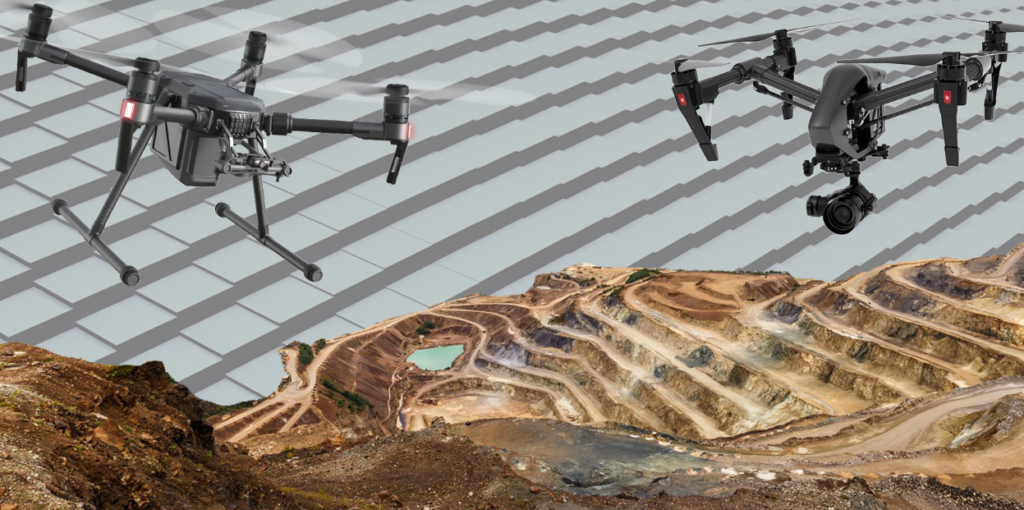
Drones are used to scan and understand the geography of the environment using downward-facing scanners like Lidar payloads, RGB, or multispectral cameras. UAV drone surveys using RGB cameras take pictures of the land from different angles to make a complete image of the surroundings.
A LIDAR uses light in the form of a laser to determine the distance and professionals use this data to create precise 3d information about the area and its characteristics.
How does it work
Lidar uses a laser, a GPS scanner, and a receiver attached to the device. These devices process the data that is later used to create a model for the unseen area of the land. A Lidar points a laser at the target surface; the light reflected by the target is then used to measure the distance by the sensors.
This data when compiled creates 3d coordinates which include latitude, longitude, and height. This combination is called point.
Types of Lidar
There are two types of lidar models used for specific purposes:
Topographic: Lidar which is commonly used for the study and analysis of the land structure. This is necessary for building projects like mining, roadwork, and other work which require measuring distance.
Bathymetric: is used for projects that require the study of underwater as it uses water-penetrating green lasers. Through these engineers can understand the land under the water and make necessary changes that will not harm the construction.
Advantages of Lidar
Following are the advantages of Lidar scanning surveying:
Speed: Lidar scanning is one of the fastest scanning tools as it can collect millions of points of data in seconds. A survey of buildings can be completed in 3-5 minutes.
Accuracy: Lidar collects extremely dense data as such the margin of error decreases significantly. This way engineers can make adjustments to the project after studying topography.
Flexibility: Lidar equipment can be used in any type of environment as it can be adjusted to multiple devices like a tripod, a moving vehicle, plane, helicopter, or a drone. Day or night time does not affect its use as it collects data through laser scans.
Safety: Because it can be mounted on any device like drones it helps to survey areas that can be harmful to humans.
Conclusion
UAV drone surveys are beneficial for the development of large areas as it makes the work of mapping the area simple. With your area detailed in an electronic device, you can make changes to it that suit your desire.
For more information visit our website!